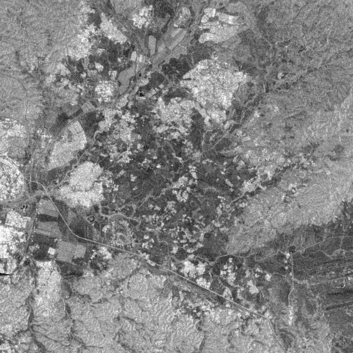
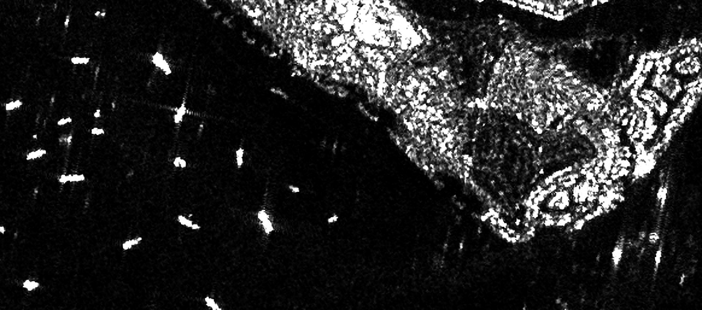
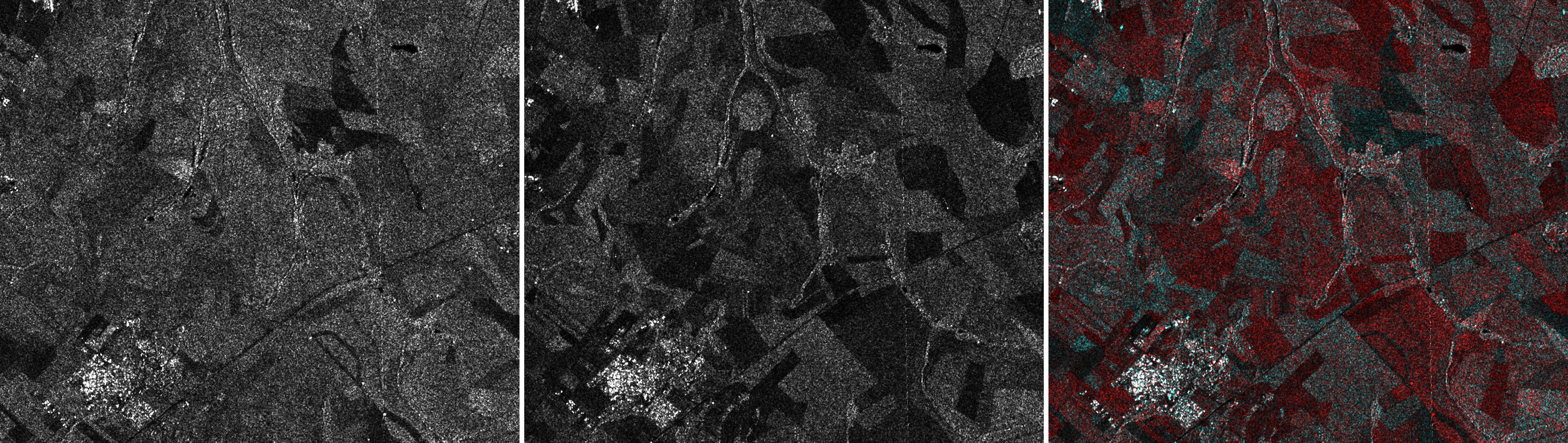
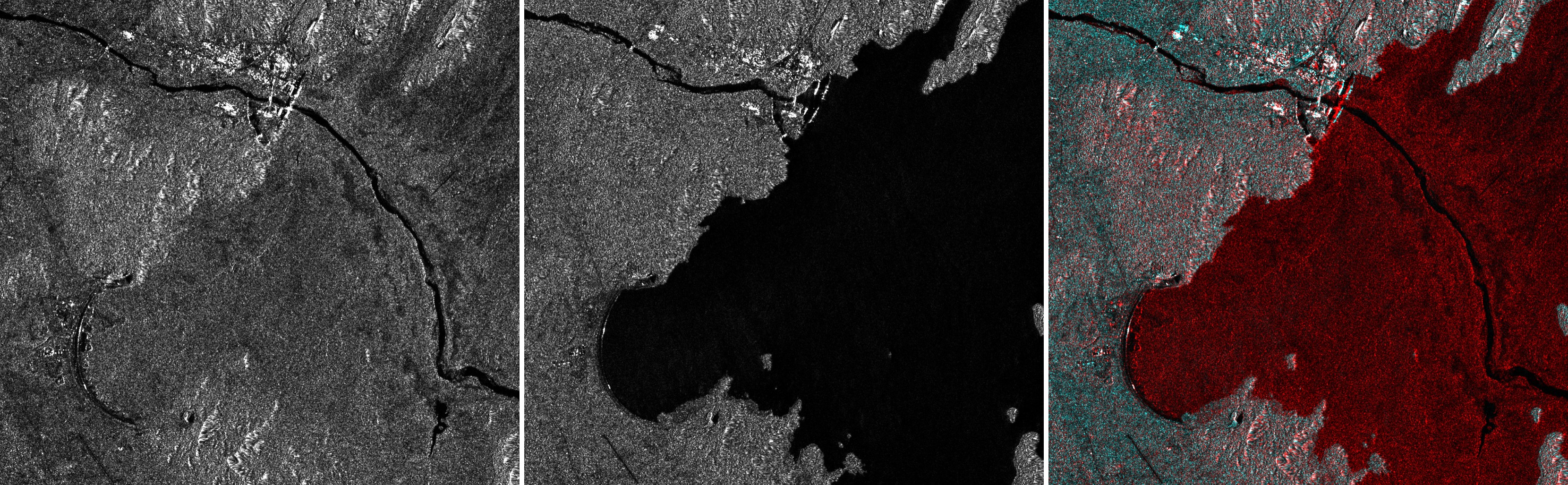
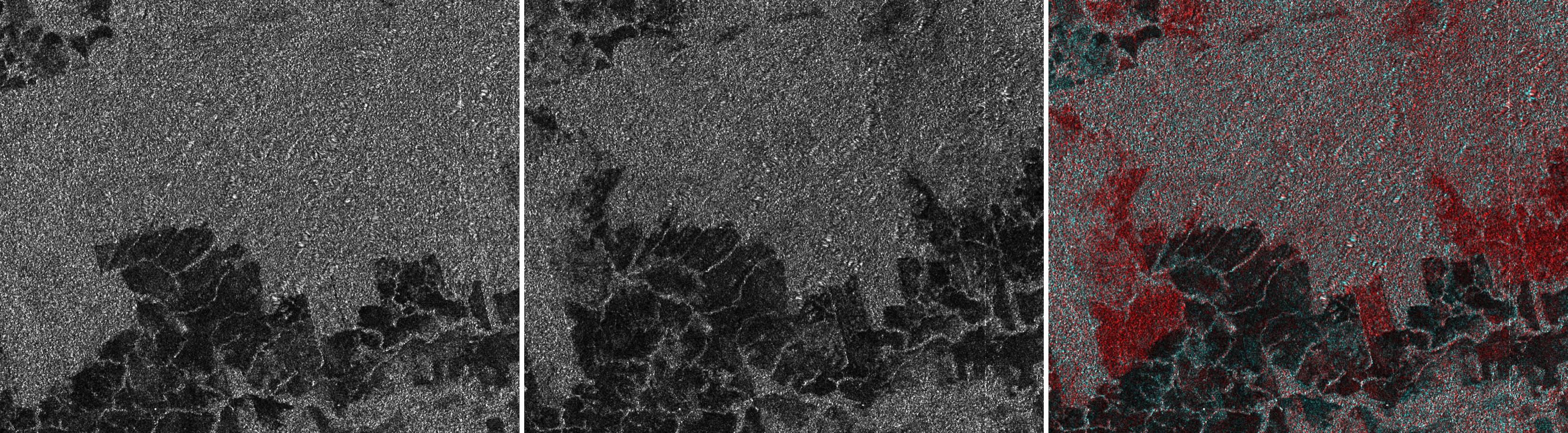
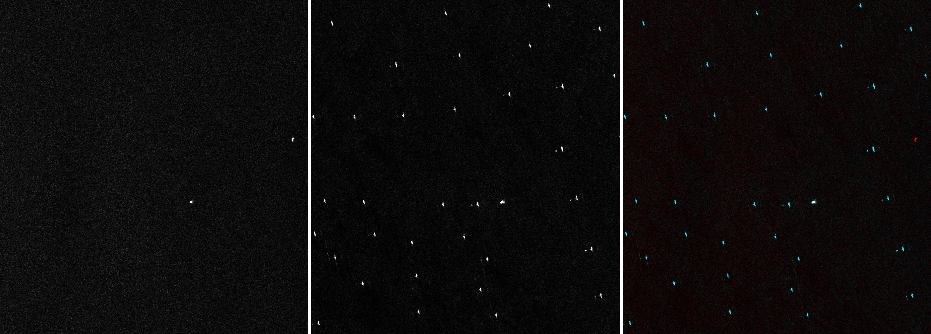
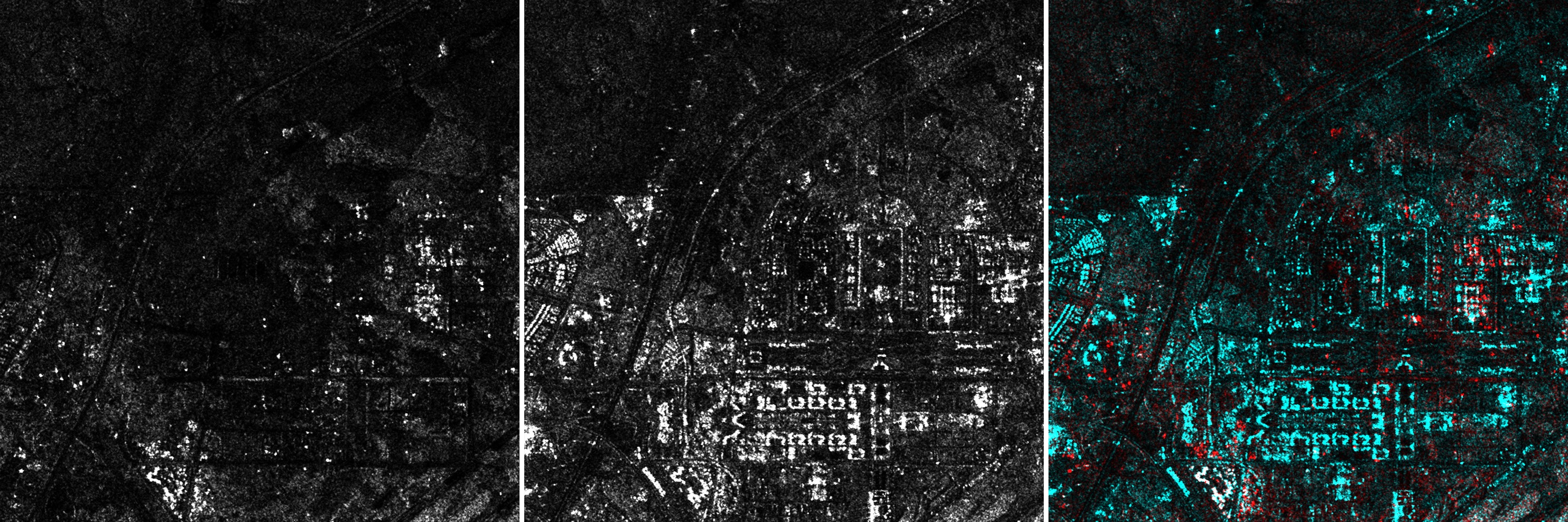
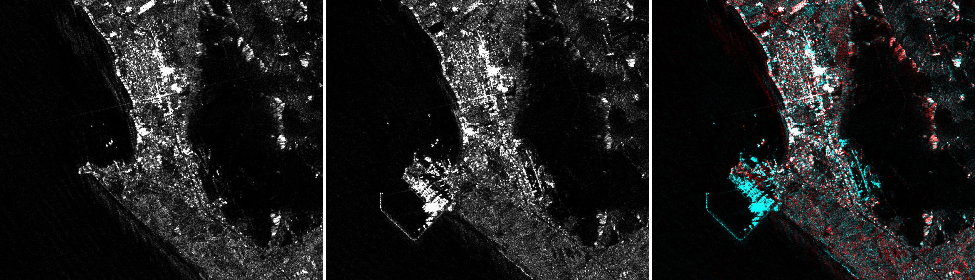
Many locations and seasons are extremely cloudy, where all satellite imagery other than SAR sources is not available. SAR data uses active radar which penetrates clouds and rain, but its data is different from optical and often requires expertise to interpret. Worldwide SAR has been available since 2015 through ESA Sentinel-1 and a new NASA/ISRO NISAR satellite coming online fully around 2027, partially available 2026. The basemap imagery is grayscale visualization (see Enhanced SAR data for source data access).
Sources:
- Live now: Sentinel-1 10m C-band VV and VH, refresh set by ESA’s acquisition plan: about 3 days over Europe, typically 6–24 days elsewhere, less often in some remote areas
- Coming soon: NISAR 10m and 5m L-band and S-band HV and HH, 6 days refresh
The all-weather basemap continuously processes new SAR captures worldwide, making it easily available with the following capabilities:
- Terrain correction of the raw GRD data, fixing pixel location errors of 50m to 5km to match reality
- VV and VH polarisations available
- Ascending and descending available
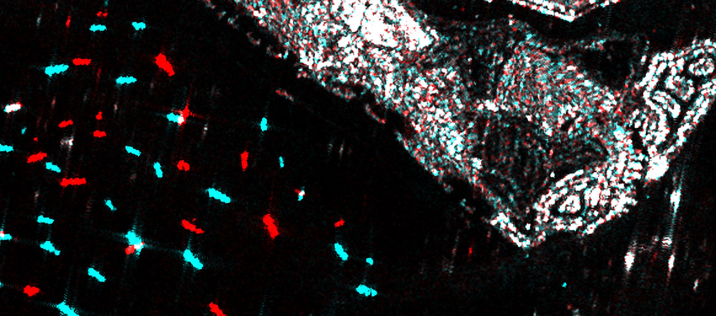
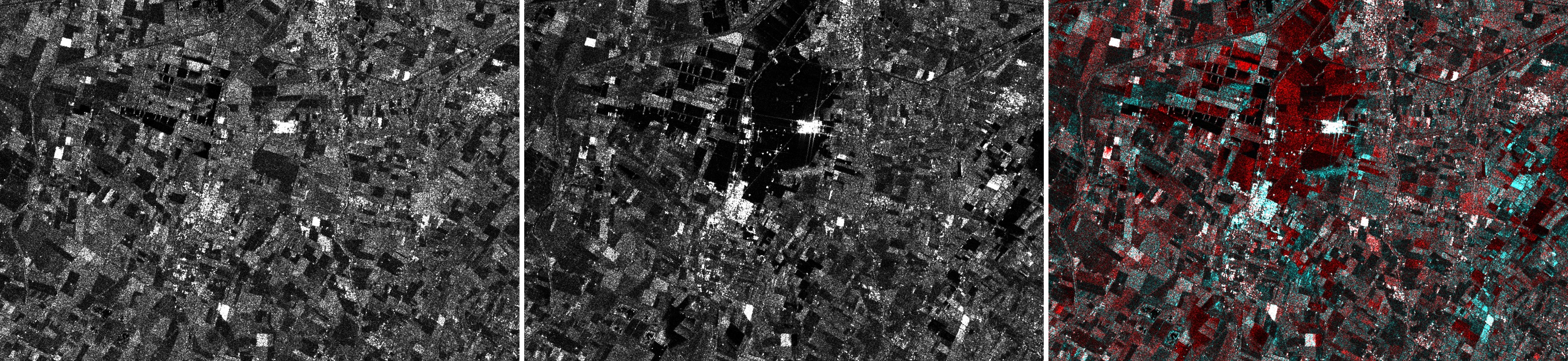
- Latest and previous capture of pixel-aligned data available for change visualization
- Real-time Fidelity Reconstruction projection to 2.5m GSD
- Coming up: land-cover classification
On average about two thirds of the Earth is under cloud at any time. [1] Sentinel-1 radar images the ground day and night regardless of cloud [3], and NISAR adds L-band and S-band radar. [4]