
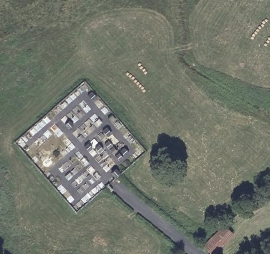
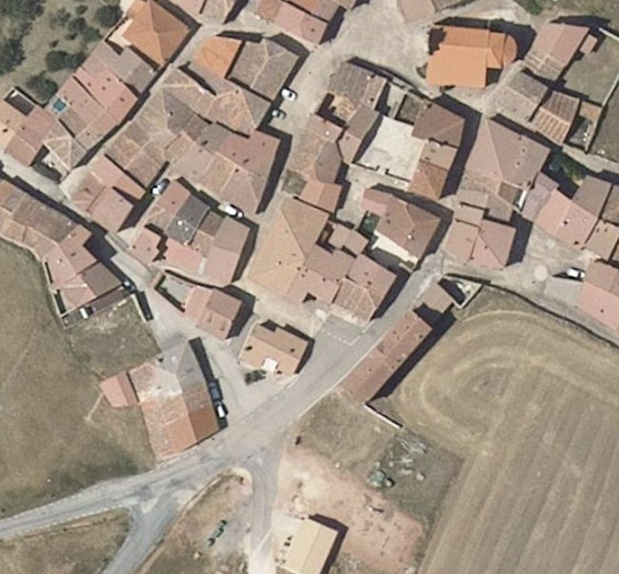
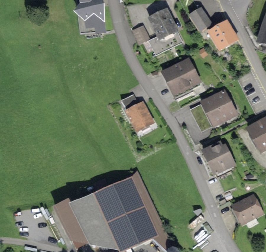
Many countries make an aerial basemap of some or all of their territories available, some as tile servers and some as accessible AOIs, using different access methods.
EarthToDate standardized this body of imagery, and provides a single tile server accessing them all. EarthToDate does not own or maintain, and cannot be responsible for the data quality, correctness or availability, and is merely providing standardized access to it.
These aerial basemaps can be of various vintages, but some data can be quite up to date. GSD also varies widely, up to 1cm in specific locations.
Here are the supported countries and their characteristics as of EarthToDate's last check (March 2026):
| Country | Source(s) | Max zoom / detail |
|---|---|---|
| Australia | NSW, Queensland, Tasmania | NSW z21 (~6cm); QLD z20; TAS z18 |
| Austria | basemap.at | z20 (~10cm) |
| Belgium | Flanders | z21 (~5cm) |
| Czech Republic | ČÚZK | z20 |
| Estonia | Maa-amet | z18 (~30cm) |
| France | IGN | z19 (~20cm) |
| Germany | Berlin, Saxony, NRW | Berlin z24 (~1cm) |
| Hong Kong | GeoData | z20 |
| Japan | GSI | z16–18 (~48cm) |
| Netherlands | PDOK | z21 (~5cm) |
| New Zealand | LINZ | z24 (~1cm) |
| Norway | Kartverket | z21 (~4cm) |
| Singapore | OneMap | z20 |
| South Africa | CD:NGI | z23 (~2cm) |
| Spain | PNOA | z20 (~11cm) |
| Switzerland | Swisstopo | z20 (~10cm) |
| Taiwan | — | z20 |
| USA | USGS | z16 (~1.8m) |