1m detail, everywhere
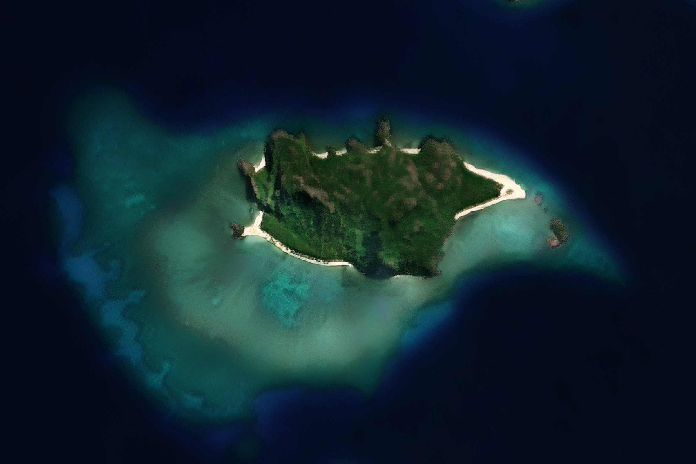
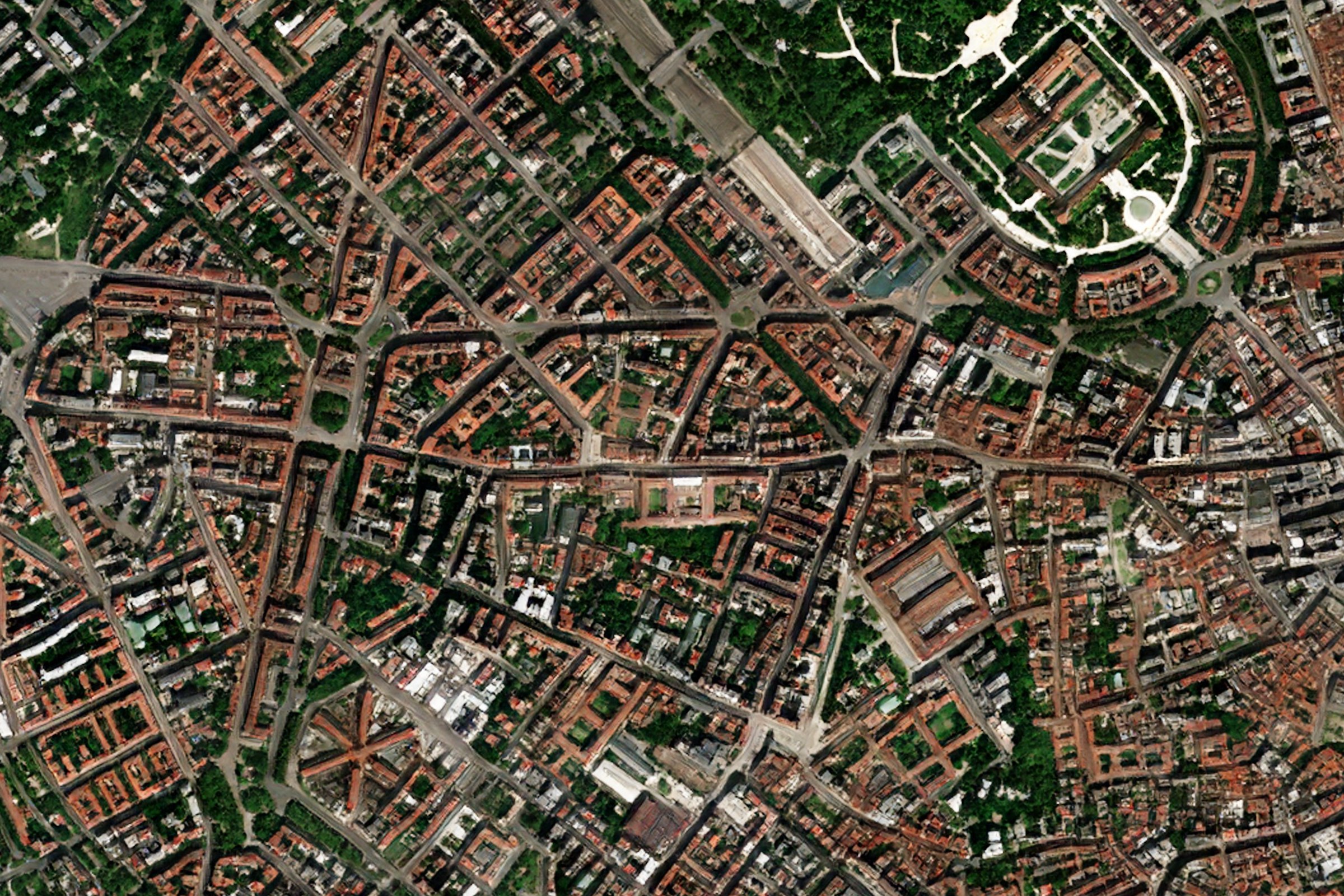
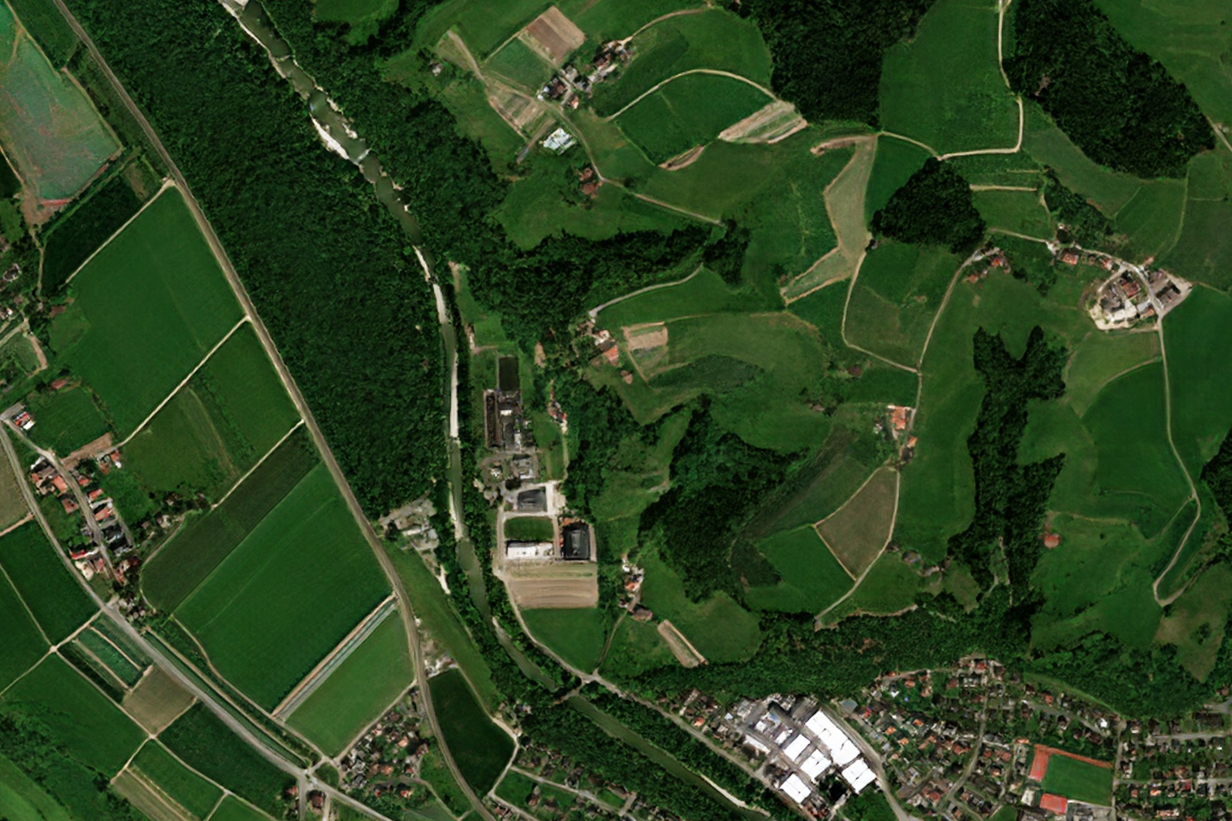
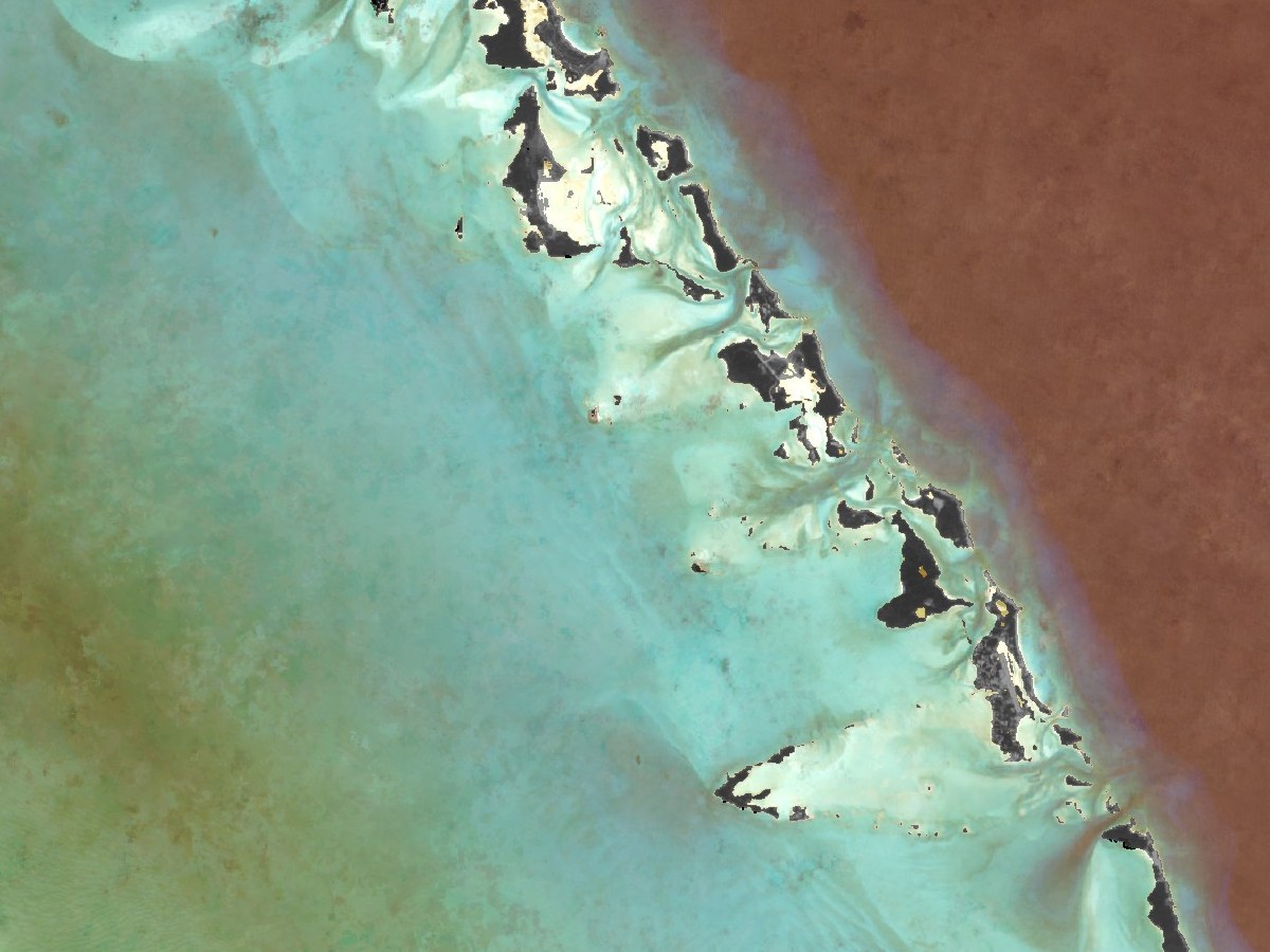
Samples from the Optical Basemap at full detail.
Satellite, radar and aerial basemaps
Worldwide cloudless data, visual, multispectral and radar, available through a cloud tile server, for on-prem deployment and as an offline dataset.
Fresh cloudless 1m imagery, quarterly to live. RGB and NIR with seven views, quarterly, monthly or live.
Explore →Radar basemap, updated with every pass. Sentinel-1 radar, day, night and through cloud.
Explore →Government aerial imagery from 18 countries, through one standardized tile server.
Explore →Samples from the Optical Basemap at full detail.
Monsoon seasons, polar winters and tropical coasts can stay cloudy for weeks. The All-Weather Basemap is built from radar, so the latest picture of the ground is always there.
All-Weather BasemapBasemaps are served as standard Web Mercator map tiles, so they load fast in any GIS or web map and scale to a large number of concurrent users.
Use them from our cloud tile server, deploy them on your own servers, or take them as an offline dataset.
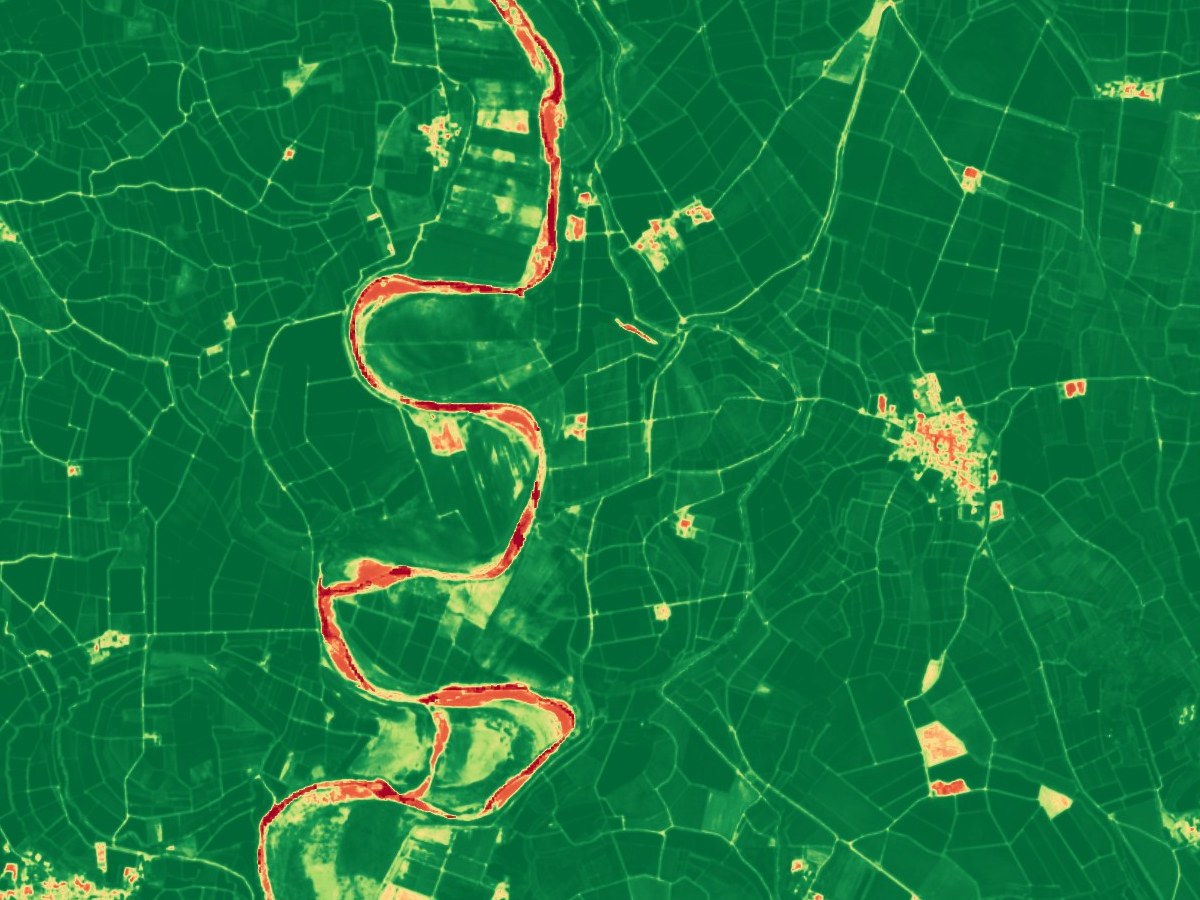
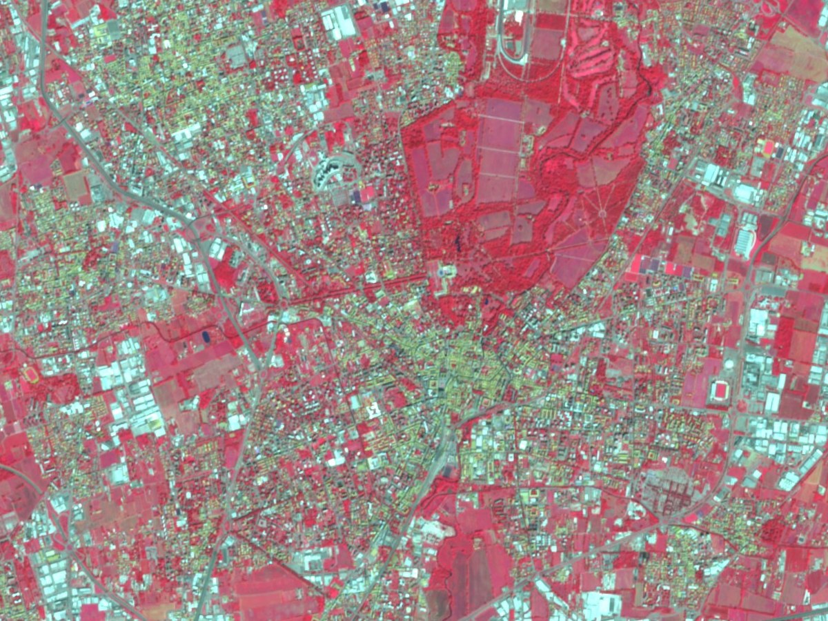
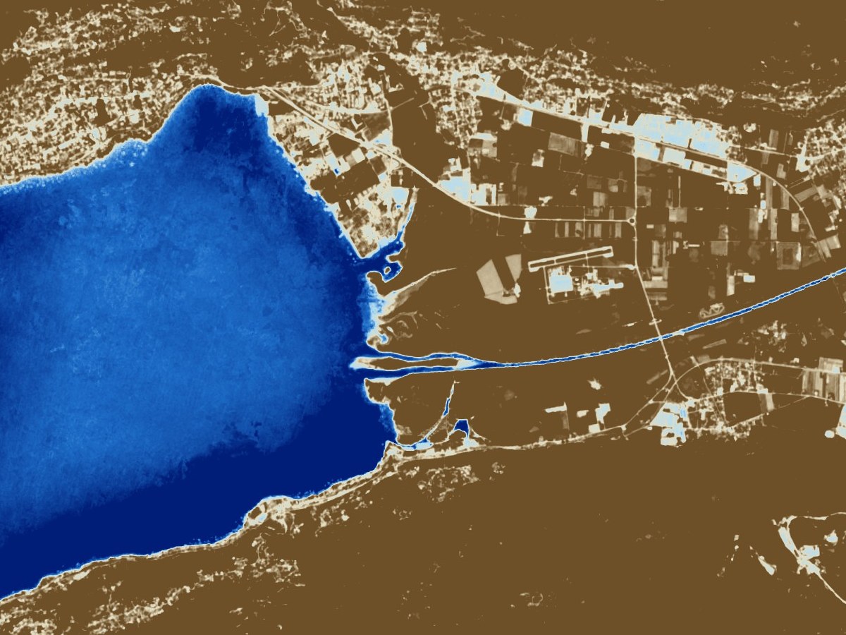
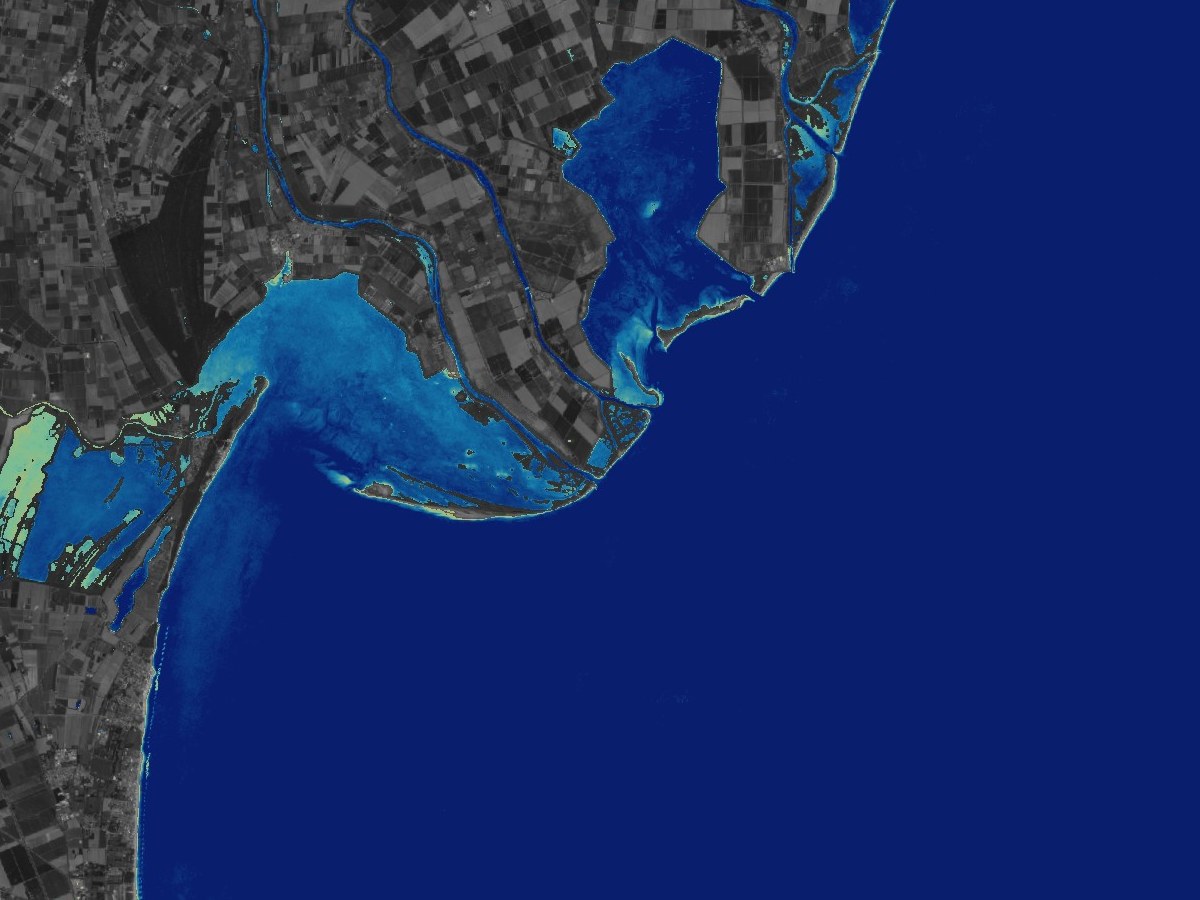
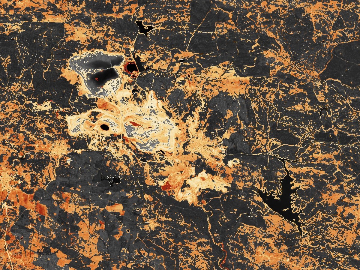
The Optical Basemap carries RGB and NIR bands, so every tile can be shown as true colour or as one of six analytical views.
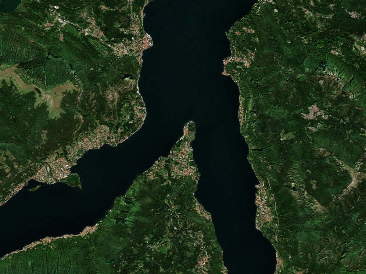
Pan and zoom anywhere on Earth in the live viewers, then tell us the area and update frequency you need.